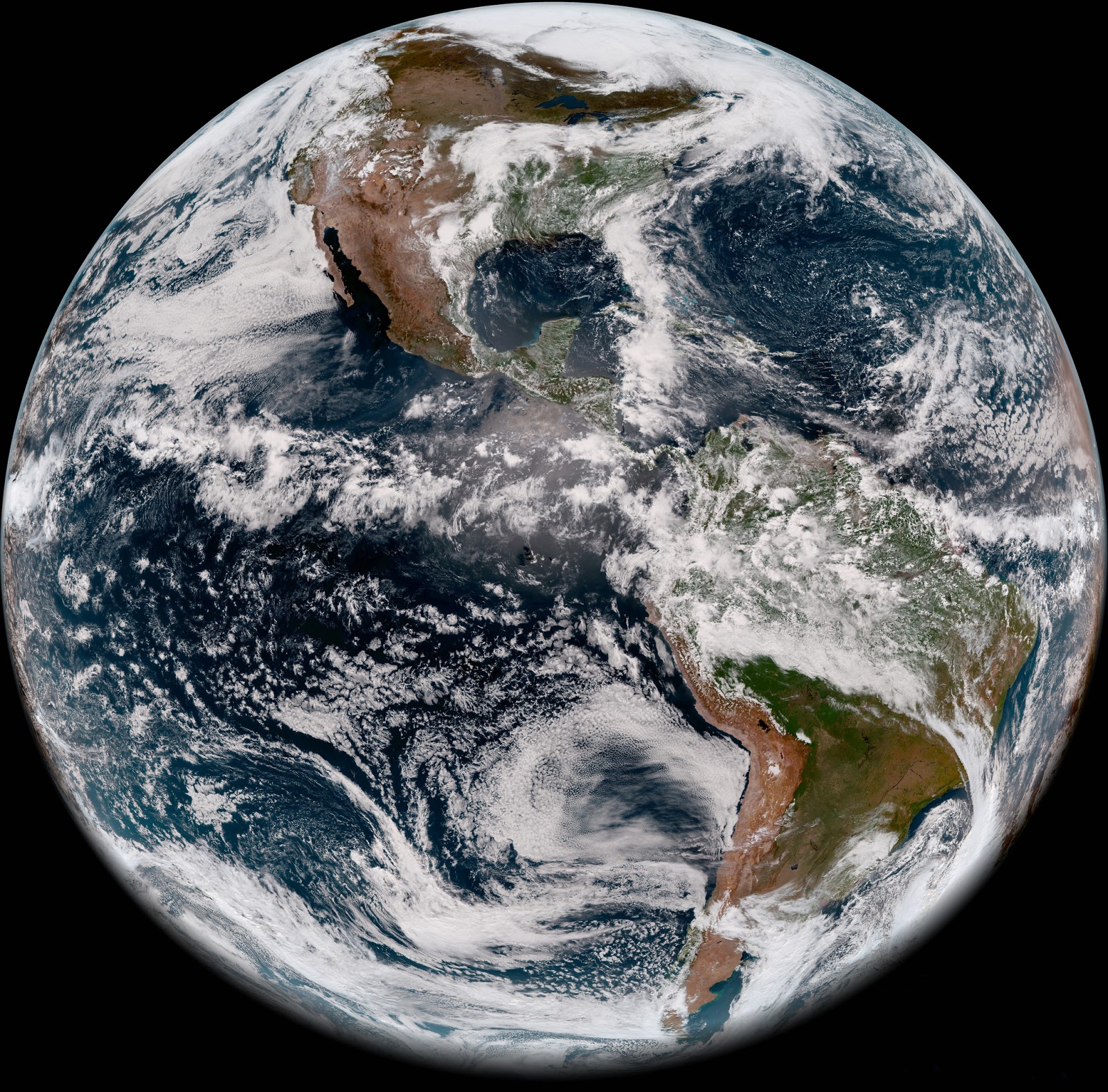
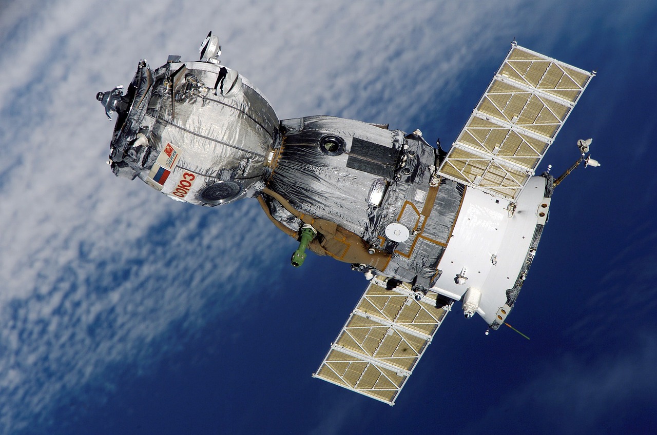
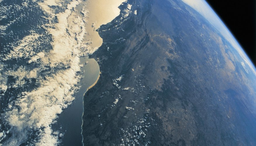
Satellite imaging is a fascinating technology that has revolutionized how we observe our planet. Using a blend of physics, engineering, and computer science, satellites capture detailed images of Earth from space. These images are essential for various applications, ranging from environmental monitoring to disaster management. With advances in satellite technology, it’s easier than ever for anyone to access high-resolution photographs of our world.
Satellites equipped with sophisticated sensors and cameras orbit the Earth, continuously capturing images of different regions. The data collected can provide insights into major changes in land use, climate patterns, and natural disasters. The recent surge in commercial satellite services has made satellite imagery more accessible to the public, opening new doors for research, business, and even individual curiosity.
Understanding the Importance of Recent Satellite Images

Recent satellite images hold immense value across various sectors. From scientists to urban planners, everyone can benefit from the insights these images provide. Here are some key areas where the importance of up-to-date satellite imagery shines:
- Environmental Monitoring: Regular satellite images allow scientists to track deforestation, glacial melting, and habitat changes over time. By comparing past and current images, researchers can identify trends and make informed decisions.
- Agricultural Management: Farmers and agronomists use recent satellite imagery for precision agriculture. It helps monitor crop health, assess moisture levels, and plan irrigation more effectively.
- Disaster Response: After a natural disaster, timely satellite images enable first responders to assess the situation quickly. These images can help identify affected areas and prioritize resources efficiently.
- Urban Planning: City planners rely on the latest satellite images to understand urban growth, plan infrastructure, and manage land use effectively.
- Climate Research: Recent images assist researchers in studying climate change effects by providing visual data on temperature variances, storm patterns, and sea-level rise.
In today's fast-paced world, having access to the most recent satellite images can not only improve decision-making but also enhance our understanding of the intricate systems governing our planet.
Also Read This: Cartography of Coins: Unraveling the Mysteries of AliExpress Coins
Methods for Accessing Recent Satellite Images

When it comes to accessing the latest satellite images, there are several effective methods you can use. Depending on your needs—whether you're working on a research project, tracking environmental changes, or just curious about what's happening in a specific area—there’s likely a method that suits you perfectly. Here are some of the most popular methods:
- Online Satellite Image Providers: Many companies specialize in satellite imagery and provide online platforms where you can browse, filter, and download images. Some examples include Planet Labs and DigitalGlobe.
- Government Resources: Countries often have governmental agencies that provide satellite imagery for public use. For example, NASA offers a wealth of recent images through its Earth Observing System Data and Information System (EOSDIS).
- Geographic Information Systems (GIS) Software: Programs like ArcGIS and QGIS allow users to access satellite imagery as part of their geographical data analysis. They often integrate with satellite imagery databases so you can fetch recent datasets directly.
- Image APIs: If you’re more tech-savvy, some satellite imagery companies offer APIs that allow developers to pull in satellite imagery data programmatically. It’s a great way to automate the process of acquiring images on your own terms.
Regardless of which method you choose, the key is to ensure you are aware of the licensing and usage agreements associated with the images, as they may vary from one provider to another!
Also Read This: Dropshipping Dynamo: Mastering AliExpress to Amazon Dropshipping
Popular Platforms for Satellite Imagery

In today's digital age, numerous platforms provide access to recent satellite imagery. Some are comprehensive, while others excel in specific applications. Here’s a rundown of some of the most popular platforms that you can explore:
| Platform | Features | Best For |
|---|---|---|
| Google Earth Engine | Massive repository of satellite data, built-in analysis tools | Researchers and environmental scientists |
| NASA Worldview | Access to real-time satellite data, user-friendly interface | General public and educators interested in Earth science |
| Sentinel Hub | Wide variety of satellite imagery, customizable viewing | Agriculture and forestry applications |
| Planet Explorer | Access to daily global imagery, high-resolution data | Businesses needing up-to-date imagery for analysis |
Each of these platforms offers unique benefits, so it's worth exploring a few to see which one fits your needs best. They not only provide satellite images but also tools for analysis, which can enhance your understanding of the data at hand!
Also Read This: Language Barrier Breakdown: How to Change Language on AliExpress
5. Tips for Efficiently Searching Satellite Images

Searching for satellite images can sometimes feel overwhelming, especially with the vast amount of data available online. However, with a few handy tips, you can streamline your search process and get the images you need quickly and efficiently. Here are some strategies to keep in mind:
- Use Specific Keywords: When searching for satellite images, be as specific as possible. Instead of typing "city," try "satellite images of San Francisco." This helps narrow down your results.
- Filter by Date: If you're looking for the most recent images, make sure to use date filters available on many satellite image services. This feature saves you tons of time by showing only the data you need.
- Explore Different Platforms: Various platforms provide access to satellite imagery. Sites like Google Earth, NASA Worldview, and Sentinel Hub offer excellent resources. It’s a good idea to explore them all.
- Utilize Advanced Search Tools: Many satellite image services provide advanced search options allowing you to refine your search by satellite type, resolution, and more. Use these tools for precision.
- Join Online Communities: Engaging with online forums or social media groups interested in satellite imagery can provide tips and lead you to new sources that you might not discover on your own.
By implementing these tips, you can make your search for satellite images not only efficient but also more enjoyable. Happy image hunting!
Also Read This: how to get hex color from image
6. Interpreting Satellite Images Effectively
Interpreting satellite images can be both an art and a science. It’s not just about looking at the picture; it’s about understanding what you see. Here are some approaches to help you interpret satellite imagery effectively:
- Understand the Basics of Satellite Imagery: Familiarize yourself with the types of satellite images (e.g., multispectral, panchromatic). Knowing this can enhance your understanding of what you’re looking at.
- Analyze Color and Texture: Different colors and textures can indicate various features on the ground. For example, healthy vegetation often appears in vibrant green, while water bodies may have deeper blue or turquoise hues.
- Familiarize Yourself with Common Features: Recognize common geographic features such as roads, rivers, forests, or urban areas. Identifying these can help frame the context of the image.
- Use Measurement Tools: Some platforms allow you to measure distances or areas directly on the image. This can provide additional context, especially for urban planning or environmental assessments.
- Compare Images Over Time: If available, look at satellite images taken over different periods. This can reveal changes in land use, vegetation cover, or urban development, providing valuable insight.
By employing these techniques to interpret satellite images, you’ll gain a clearer understanding of the earth’s landscape from above, making your analysis more meaningful and insightful.
Also Read This: How to Increase Image Size in GIMP
How to Obtain the Most Recent Satellite Images
Obtaining recent satellite images can be essential for various applications, from agriculture to urban planning and environmental monitoring. Here’s a comprehensive guide to accessing the latest satellite imagery.
1. *Online Satellite Image Providers: Numerous platforms allow you to search and download recent satellite images:
- NASA Worldview - Access real-time satellite data collected by NASA satellites.
- Google Earth Engine - Leverage the Google Earth Engine API to analyze vast amounts of satellite data.
- Sentinel Hub - Utilize this platform to explore and download imagery from the European Space Agency's Sentinel satellites.
- USGS Earth Explorer - Find and order satellite images, aerial photos, and other data products.
2. Commercial Satellite Imagery: For high-resolution images, consider commercial satellite providers:
- Maxar Technologies - Offers high-resolution satellite imagery for commercial use.
- PlanetScope - Provides daily satellite imagery, suitable for agricultural and environmental monitoring.
3. Mobile Applications: Some applications allow users to access satellite imagery directly from their mobile devices. Consider:
- Sentinel Hub Mobile
- Earth Now
4. Public Datasets and Open Data Initiatives*: Many countries and organizations offer free access to satellite data through open data initiatives. Check:
- Copernicus Open Access Hub- For access to Sentinel data.
- NASA's EarthData- A platform for various satellite datasets.
In exploring these resources, keep in mind the importance of data licensing and usage restrictions. Accessing and using satellite images responsibly contributes to a better-informed global community.
Conclusion and Future of Satellite Imaging
As technology advances, the accessibility and resolutions of satellite imagery will likely improve, offering even more opportunities for research and monitoring across various fields. With the growing importance of data in decision-making, staying updated with the latest satellite technology will be vital for future applications.
 admin
admin


