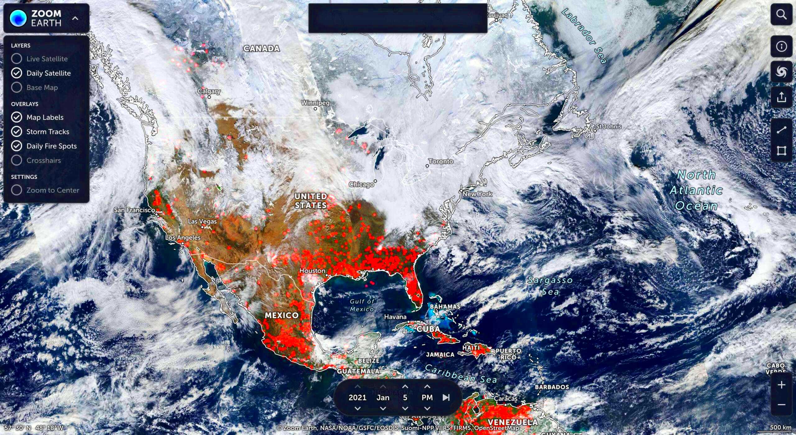
Satellite images are powerful visuals captured from space, showing us what our world looks like from above. These images offer a unique perspective of Earth, helping us observe everything from natural landscapes to bustling cities. With advancements in technology, satellite
Benefits of Using Satellite Images

Satellite images offer a range of benefits that make them indispensable for many industries and individual users. Here are some of the primary advantages:
- Environmental Monitoring: Satellite images help track changes in forests, oceans, and glaciers, allowing scientists to monitor climate change effects in real time.
- Disaster Management: During natural disasters, satellite images provide critical data for assessing damage, planning evacuations, and coordinating relief efforts.
- Urban Planning: City planners use satellite images to understand urban growth, road layouts, and green spaces, helping to design better urban infrastructure.
- Agricultural Insight: Farmers and agricultural experts rely on satellite data to monitor crop health, soil conditions, and predict yields, leading to more sustainable practices.
- Navigation and Mapping: With GPS and satellite images, navigation systems provide accurate routes and help users discover new places, whether on land or at sea.
Types of Satellite Images Available

Different types of satellite images offer various perspectives and details, each serving unique purposes. Here’s a look at the main types:
| Type | Description |
|---|---|
| Optical Images | These images capture Earth in visible light, similar to how a camera works, making them ideal for viewing landscapes, cities, and large-scale geographical features. |
| Infrared Images | Infrared sensors detect heat, providing valuable data for studying vegetation health, water bodies, and temperature variations. |
| Radar Images | Radar imaging uses radio waves, which allows satellites to capture images through clouds, smoke, and darkness, making them ideal for all-weather observation. |
| Multispectral and Hyperspectral Images | These images capture data in multiple wavelengths, offering detailed information that’s useful in agriculture, mineral exploration, and environmental monitoring. |
Each type of image provides specific details, allowing users to choose the best fit for their needs, whether for scientific research, business, or personal interest.
How Satellite Images are Captured
Capturing satellite images involves sophisticated technology and processes. Satellites equipped with advanced sensors orbit the Earth, continuously collecting data. Here’s how it works:
First, satellites are launched into specific orbits, usually low Earth orbit (LEO) or geostationary orbit (GEO). Once in place, they use different types of sensors to capture images:
- Optical Sensors: These sensors capture images in visible light, similar to how a regular camera works. They rely on sunlight to illuminate the Earth’s surface.
- Infrared Sensors: These detect heat and can capture images even in low-light conditions. They help in assessing vegetation health and water bodies.
- Radar Sensors: Radar satellites emit radio waves and analyze the signals that bounce back, allowing them to see through clouds and darkness.
The data collected is then processed and transformed into images that scientists and users can analyze. This combination of technology and careful analysis allows us to see our planet from a completely new perspective.
Tools for Accessing Satellite Images
Accessing satellite images has never been easier, thanks to various tools and platforms available online. Here are some of the most popular tools you can use:
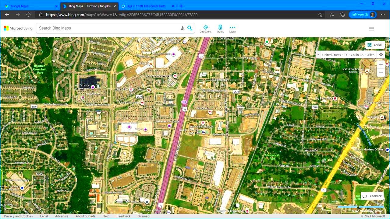
- Google Earth: A well-known platform that allows users to explore satellite imagery, terrain, and 3D buildings across the globe.
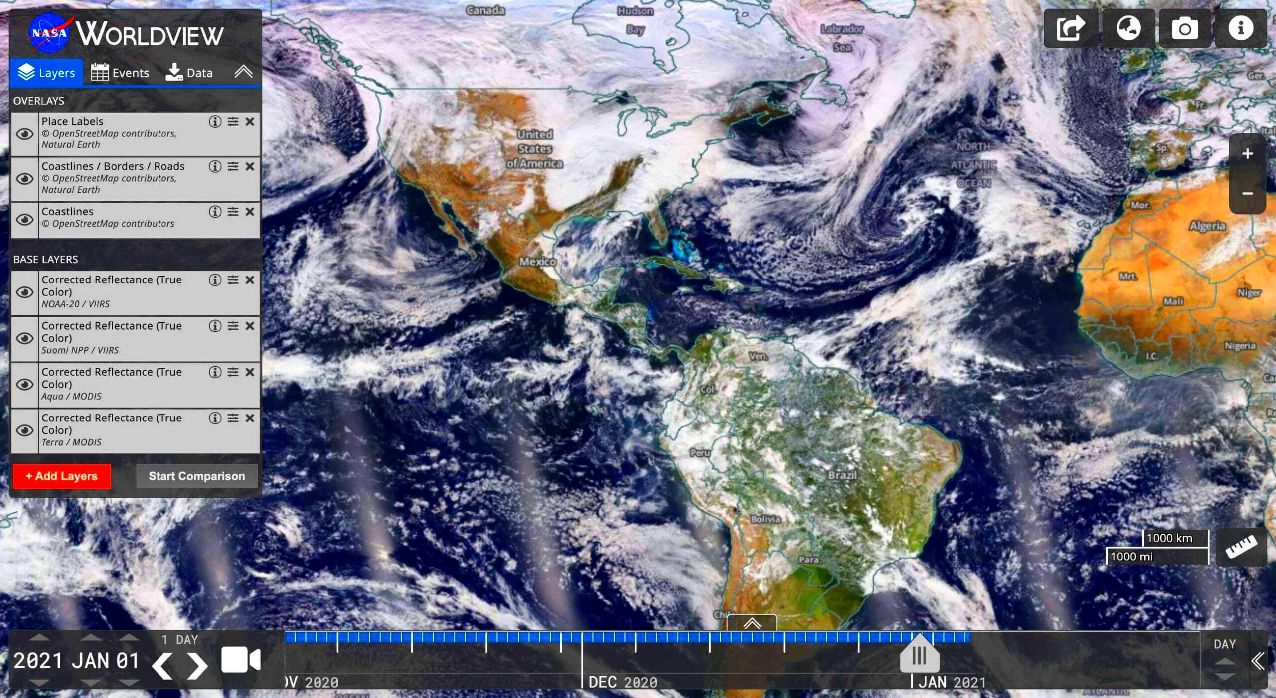
- NASA Worldview: This tool provides access to real-time satellite imagery from NASA's Earth Observing System Data and Information System (EOSDIS).
- Sentinel Hub: A powerful cloud-based tool for accessing, processing, and analyzing satellite imagery from the European Space Agency’s Sentinel satellites.
- USGS Earth Explorer: A tool that allows users to search for and download satellite images and aerial photographs from various sources, including Landsat.
Each of these tools has its unique features, making them suitable for different users, from casual explorers to researchers looking for detailed data.
Steps to Download Satellite Images
Downloading satellite images can be straightforward if you follow these steps. Here’s a simple guide to help you get started:
- Choose Your Source: Decide on the platform you want to use, such as Google Earth, NASA Worldview, or another satellite image provider.
- Search for the Area: Use the search bar to find the location you're interested in. Zoom in to get a more detailed view.
- Select the Date: Many platforms allow you to choose images from specific dates. This is useful if you’re looking for changes over time.
- View Image Options: Explore the available images. Some platforms offer different types of images, such as optical or infrared.
- Download the Image: Once you find the image you want, look for a download button or link. Follow the prompts to save the image to your device.
Remember to check the usage rights for the images you download, as some may have restrictions. With these steps, you can easily access and download the satellite images you need.
Common Applications of Satellite Images
Satellite images are incredibly versatile and find applications across various fields. They provide essential data that helps in decision-making and planning. Here are some of the most common uses:
- Environmental Monitoring: Scientists use satellite images to track deforestation, desertification, and changes in ecosystems. This helps in understanding climate change and its impacts.
- Agriculture: Farmers use satellite data to monitor crop health, assess soil conditions, and optimize irrigation. This leads to improved yields and sustainable farming practices.
- Urban Planning: City planners rely on satellite images to analyze urban sprawl, infrastructure development, and land use. This data helps in creating better urban environments.
- Disaster Response: During natural disasters like floods, hurricanes, or earthquakes, satellite imagery assists in assessing damage, planning rescue operations, and coordinating relief efforts.
- Weather Forecasting: Meteorologists use satellite data to monitor cloud cover, track storms, and predict weather patterns, enhancing forecasting accuracy.
These applications highlight the importance of satellite images in addressing real-world challenges and improving our understanding of the planet.
FAQ
Here are some frequently asked questions about satellite images:
- What are satellite images?
Satellite images are photographs of Earth taken from satellites orbiting the planet, capturing various data about land, water, and atmospheric conditions. - How often are satellite images updated?
It depends on the satellite and its orbit. Some satellites provide daily updates, while others may capture images weekly or monthly. - Can I access satellite images for free?
Yes, many platforms offer free access to satellite images, including Google Earth and NASA's Worldview. - Are satellite images accurate?
While satellite images are generally accurate, factors like cloud cover and resolution can affect the clarity and detail of the images. - How can I use satellite images?
You can use satellite images for various purposes, such as research, education, urban planning, agriculture, and environmental monitoring.
Conclusion
Satellite images have transformed the way we observe and understand our planet. They provide valuable insights into environmental changes, support disaster management, and aid in urban planning. As technology advances, the accessibility and accuracy of satellite images will continue to improve, making them even more useful for various applications. Whether you are a researcher, a farmer, or just a curious individual, satellite images offer a window into our world, helping us make informed decisions for a sustainable future.

 admin
admin


