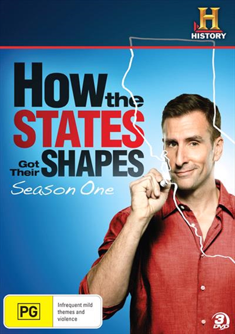
Have you ever wondered why the borders of our states look the way they do? The documentary How the States Got Their Shapes dives deep into this intriguing question, exploring the fascinating history and quirky stories behind state boundaries. Hosted by the charismatic Brian Unger, this series takes viewers on a journey across America, examining not just geography but also the cultural, political, and historical influences that shaped these lines on the map. Whether you're a history buff, a geography enthusiast, or just someone curious about the world around you, this documentary is sure to captivate your interest!
Overview of the States' Shapes
The shapes of the states in the United States tell a story of geography, culture, and history. From the iconic rectangular states of the Midwest to the jagged coastlines of New England, each state's outline reflects various influences. Let's explore some key factors that contributed to these distinct shapes:
- Geographic Features: Natural landforms such as rivers, mountains, and lakes have played a significant role in defining state borders. For example, the Mississippi River helped establish boundaries for several states, while the Rocky Mountains create a dramatic division in the west.
- Political Decisions: Many state borders were drawn based on political negotiation rather than geographic reality. The "straight line" states like Colorado and Wyoming were created out of convenience, often resulting in less-than-natural shapes.
- Historical Context: The history of settlement, wars, and treaties has also shaped state borders. For instance, Florida's borders were influenced by colonial claims, while Texas's unique size and shape were a result of its independence from Mexico.
Many states' shapes are deeply rooted in their historical context. Let's take a closer look at some interesting examples:
| State | Shape | Interesting Fact |
|---|---|---|
| Colorado | Rectangular | Its borders were drawn by surveyors using a grid system, making it one of the most geometric states. |
| Tennessee | Long and narrow | Tennessee is one of the longest states, stretching 432 miles in length! |
| California | Irregular | The state's shape reflects its diverse geography, from mountains to coastlines, and is marked by historical land grants. |
| Florida | Peninsular | Its unique shape is a result of being surrounded by water on three sides, which has heavily influenced its tourism industry. |
The playful diversity in the shapes of states also makes them a topic of curiosity and discussion. Have you ever thought about how Americans often define state identities based on shapes or stereotypes? This documentary cleverly captures these narratives and invites viewers to explore the deeper meaning behind our nation's geography.
In conclusion, the examination of how the states got their shapes is not just about lines on a map; it's about understanding America itself. The cultural, political, and historical layers that contribute to these shapes reveal a vibrant tapestry that forms the very essence of the United States.
Also Read This: Evaluating the Value of Dailymotion in Comparison to Competitors
3. The Historical Context Behind State Boundaries
Understanding the history of state boundaries in the United States is like unrolling a complicated tapestry—a tapestry woven with threads of politics, culture, and geography. Each state line isn't just a simple division; it's a story of the people, events, and decisions that shaped it. So, what led to the creation of these lines? Let's dive into some key historical moments!
First, we have colonial influences. When European settlers arrived, they didn't just drop anchors and claim land; they brought with them ideas about property and governance that varied immensely from one colony to another. The Plymouth Colony, for example, had a very different approach than the Spanish territories in the Southwest. These early divisions were often based on economic opportunities, religious freedoms, and the personal interests of colonial leaders.
Next, we must consider the Westward Expansion. This monumental movement was fueled by the desire for land and resources. The Louisiana Purchase of 1803 essentially doubled the size of the United States overnight, but it also added layers of complexity to boundary making. As settlers moved west, conflicts arose with Native American tribes and among the settlers themselves, leading to treaties that often favored one group over another.
Another important aspect is how the Civil War and subsequent reconstruction profoundly influenced state lines. The war was not only fought on battlefields but also shaped identities and loyalties. After the war, new state boundaries were drawn to accommodate the shifting demographics and the contentious political climate of the Reconstruction Era.
Add into the mix the arbitrary division for things like natural resources—rivers, mountains, and fertile land—and you can see how boundaries often seem mismatched with the cultural and historical realities of the people living there.
In essence, state boundaries are a reflection of America’s evolving identity. The lines drawn on maps tell of struggles, decisions, and sometimes injustices that echo through history. The documentary does a fantastic job highlighting these elements, ensuring we appreciate the history behind each border we often take for granted.
Also Read This: Ways to Prevent Ads on Dailymotion Expert Tips
4. Key Themes Explored in the Documentary
The documentary “How the States Got Their Shapes” cleverly encapsulates the rich tapestry of state boundaries through several engaging themes. It doesn't just share facts; it invites viewers to ponder the reasons behind the world we see today. Let’s explore some of these key themes!
- Geography and its Influence: One of the major themes is how geography impacts political borders. The documentary showcases how rivers, mountains, and natural resources heavily influenced the decisions made when defining state lines.
- Politics at Play: Power struggles between state and federal governments, as well as between various interest groups, created—and continue to create—boundaries that reflect political maneuvering rather than the desires of the people.
- Cultural Identities: Boundaries often do not align with cultural divisions. The documentary dives into how communities often found themselves split by lines that didn’t recognize their histories or identities. It raises questions about what it truly means to belong.
- Historical Events and Anecdotes: Through intriguing anecdotes and historical snippets, the narrative becomes rich. From tales of land grabs to the infamous Gadsden Purchase, each story illustrates the sometimes absurd and often fascinating rationale behind state creations.
- Future Outlook: Finally, the documentary doesn’t just look back; it asks us to consider the future. With ongoing debates over statehood, autonomy, and even discussions of secession, the documentary prompts viewers to think about the relevance of state boundaries in a rapidly changing world.
These themes are woven throughout the documentary, providing viewers with not just a lesson in geography but an understanding of America’s diverse cultural landscape. It's a reminder that while borders may divide, they often tell stories that bind us. Watching the documentary is not just about learning where lines are drawn—it’s about uncovering the history that makes those lines meaningful.
Also Read This: How to Know Someone’s Facebook Password (Ethically)
5. Significant States and Their Unique Shapes
When you look at a map of the United States, some states instantly stand out due to their unique shapes. These distinctive outlines aren't just a matter of aesthetics; they often reflect historical, geographical, and cultural factors that contributed to how these states formed their borders. Let’s dive into a few of these significant states and explore why their shapes are noteworthy!
Texas takes the crown for one of the most recognizable shapes. Its bold, sprawling outline resembles a cowboy’s hat or perhaps the silhouette of a longhorn. Texas’s extensive borders were defined by a combination of historical claims from both Spain and Mexico, as well as treaties after the Texas Revolution. Its size and distinctive shape symbolize its rich cultural heritage and history of independence.
Florida, on the other hand, appears almost like a hand reaching into the Gulf of Mexico. Its unique peninsula shape is perfect for those sunny beach vacations. Florida's borders were influenced by natural landmarks, including the Atlantic Ocean and the Gulf, but there’s also the historical context of land claims by both European powers and native tribes that shaped its distinct configuration.
Another fascinating shape belongs to Colorado, which is often described as a square or rectangle. This geometric shape is no accident. Colorado's borders were created by straight lines for simplification during the westward expansion. It embraced the ideal of the “surveyed lands” that defined many western states, showcasing a contrast to the more organically shaped states created by rivers and natural barriers.
California is beloved for its coastal curves and mountainous ridges. The state’s shape is somewhat jagged, representing its varied topography—from the Sierra Nevada mountains to the rugged coastline. The unique formation of California reflects both the cultural diversity and the geological history that has shaped it over millions of years.
Lastly, let's not forget about Alaska. While it might not be in the contiguous United States, its enormous landmass and unique outline give it a place on this list. It’s often compared to a puzzle piece that reflects its vast wilderness and the historical complexities of border delineation with neighboring countries and indigenous territories.
Ultimately, each state’s shape tells a story—one that is stitched together by history, culture, and geography. Understanding these shapes adds an extra layer of appreciation for the diverse tapestry that makes up the United States.
Also Read This: Can You Watch Age Restricted Videos on Dailymotion
6. Where to Watch the Documentary
Are you excited to dive deeper into the fascinating tales of how the United States got its quirky shapes? You're in luck! The documentary "How the States Got Their Shapes" is accessible through various platforms, making it easier than ever to explore this captivating subject from the comfort of your home.
Here are a few options on where to watch:
- Streaming Services: The documentary is available on platforms like Amazon Prime Video, where you can rent or purchase episodes for on-demand viewing. If you're a subscriber, check if it’s included in your membership!
- Public Broadcasting Services: Depending on your region, you might find episodes aired on PBS. They often feature educational content, so keep an eye on the schedule!
- DVD Collections: If you prefer physical copies, consider purchasing the DVD set of "How the States Got Their Shapes" online. It’s a great addition to your collection, especially if you're a history buff!
- YouTube: Some clips and episodes might be available on YouTube. It's worth searching as you might find snippets that pique your interest or even full episodes!
As you prepare to watch, make sure to grab your favorite snacks and settle into a comfy spot. This documentary offers not just educational content but also a visually engaging narrative about the United States' history through its geographic shapes. You’ll find yourself looking at the map with fresh eyes after learning about the stories behind each state's outline!
Also Read This: How to Make Dairy Milk Chocolate at Home: Homemade Recipe on Dailymotion
7. Audience Reactions and Reviews
One of the most fascinating aspects of any documentary is examining how it resonates with its viewers. "How the States Got Their Shapes" has garnered a range of reactions, with audiences expressing a variety of thoughts about its content, presentation, and educational value.
Many viewers have praised the documentary for its engaging storytelling and the way it weaves historical facts with geographical contexts. Here are some common reactions:
- Educational Value: Viewers often highlight how the documentary provides insights into the historical events that shaped state boundaries. They appreciate learning about the quirky and, at times, arbitrary decisions that led to the current map of the United States.
- Visual Appeal: The use of maps, graphics, and animations throughout the series has been positively received. Audiences find that the visual representations enhance understanding and make the learning process enjoyable.
- Engaging Narration: The narrator’s engaging tone and the use of humor have been noted as strong points. Many feel that this approach keeps the content lively and helps maintain interest throughout each episode.
- Critique of Depth: However, not all feedback has been positive. Some viewers feel that while the documentary is entertaining, it could delve deeper into certain states or historical events. They express a desire for more comprehensive exploration beyond just surface-level information.
- Relatable History: Audiences also comment on how relatable the history feels. Many viewers appreciate that the documentary sometimes touches on modern implications and how state shapes affect current social and political issues.
Reviews on platforms like IMDb and Rotten Tomatoes show a mix of ratings, typically averaging around 7 out of 10. The educational aspect resonates particularly well with students and educators, as it serves as an excellent supplementary resource for learning about U.S. history.
Overall, audience reactions indicate that "How the States Got Their Shapes" successfully captivates its viewers, sparking curiosity about the stories behind the geographical borders that define our nation.
8. Conclusion and Final Thoughts
As we wrap up our exploration of "How the States Got Their Shapes," it's clear that this documentary is more than just a geographical analysis—it's a journey through the colorful tapestry of American history. It serves as a reminder that state lines are often drawn through a complex interplay of politics, culture, and chance, offering viewers a deeper understanding of why our country looks the way it does today.
If you haven't yet watched the series, it’s definitely worth your time. Here’s why:
- Broad Appeal: Whether you're a history buff, a geography enthusiast, or a casual viewer, there’s something in this documentary for everyone. Its engaging format makes it accessible to a wide audience.
- Stimulates Curiosity: The documentary doesn’t just inform; it inspires curiosity. It encourages viewers to explore not only historical facts but also their implications in today’s society.
- Excellent Resource: For educators, this documentary can be a valuable addition to curriculum materials, providing a fun way to engage students in discussions about geography and history.
In summary, "How the States Got Their Shapes" serves as both an engaging visual feast and an educational tool. It deftly combines the intrigue of history with the beauty of maps and geography, inviting us to reconsider the borders that define not only our land but also our shared experiences as Americans. So, grab some popcorn, settle into your favorite spot, and prepare for a captivating journey that spans the contours of the United States!
 admin
admin