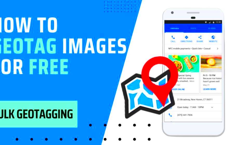
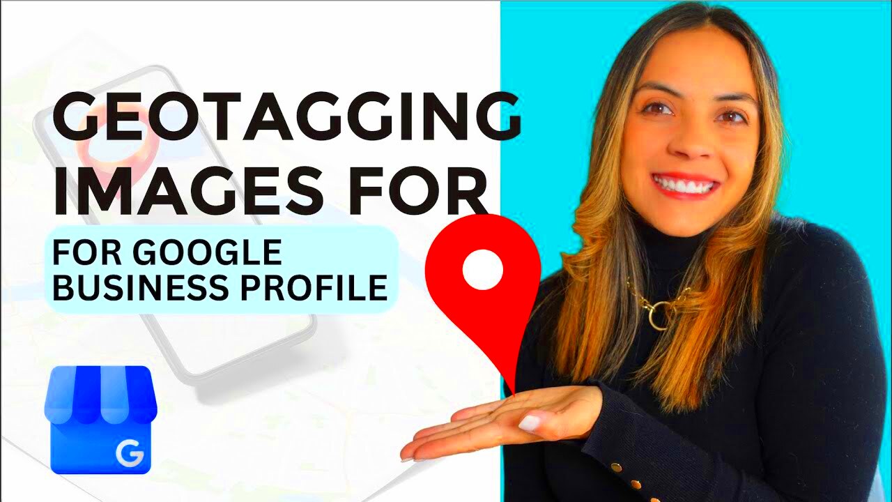
The adding of geographical identification into different media items especially photos is what is referred to as geotagging.Lastly, apart from coordinates , altitude and other location-specific details such as time can be included in this information. In today’s world where sharing images online has become the order of the day, geotagging helps in managing and organizing photos in an efficient way. It allows users to search for and access images via their locations. Furthermore this adds context to pictures thus enabling viewers to know where it was taken and its importance to that place.
How Geotagging Works for Image Files
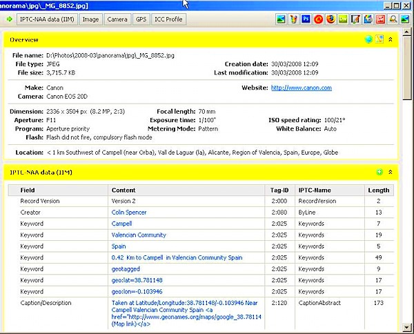
One of the methods used for geotagging is by embedding locational information into the metadata of an image file. This additional info is what describes different facets of an image including settings for the camera, date and time it was taken. In a nutshell, this is how geotagging usually operates:
- Using GPS Devices: Many modern cameras and smartphones come equipped with GPS technology. When you take a picture, the GPS records the exact coordinates where the photo was taken.
- Manual Geotagging: If your camera does not have GPS, you can manually add geotags using software applications or online tools. You’ll need to enter the location data based on where you took the picture.
- Software Integration: Some photo editing software can automatically retrieve GPS data from your device or allow you to enter it manually. The software then embeds this information into the image’s metadata.
Get more out of your images by understanding the way that geo-tagging functions.
Also Read This: Efficient Methods for Cropping Multiple Images at Once
Benefits of Geotagging Your Images
There are numerous benefits of geotagging your photos which will enhance the photographic experience, plus also facilitate better management of images.
- Improved Organization: Geotagging allows you to organize your images based on location. You can easily sort and filter photos taken in specific places, making it simple to find them later.
- Enhanced Storytelling: When sharing your photos online, geotagged images provide context. Viewers can understand the story behind each image, making your photography more engaging.
- Increased Visibility: For photographers and businesses, geotagged images can attract more attention. Social media platforms and search engines often prioritize geotagged content, helping you reach a wider audience.
- Preserving Memories: Geotagging helps you remember the places you’ve visited. When looking back at your images, the location data can trigger fond memories of your adventures.
It is pertinent to note that geotagging brings better results than just organization. Your photography will thus be improved and the pictures you take more appealing.
Also Read This: Exploring the Different Uses of Adobe Stock
Tools You Can Use to Geotag Images
In order to be able to add geographical information to pictures, one must have appropriate instruments. There are different software applications and online platforms which can assist in making it simple for you to insert geographical data in your photographs. In the following paragraphs, we shall investigate some widely used alternatives.
- Photo Editing Software: Programs like Adobe Lightroom and Photoshop allow you to edit image metadata, including geotags. They provide user-friendly interfaces for adding and managing location data.
- Mobile Apps: Many smartphone apps, such as GeoTag Photos and Geo Tracker, allow you to geotag images directly on your device. These apps can capture GPS coordinates as you take pictures.
- Online Geotagging Services: Websites like GeoImgr and Map My Photos enable you to upload your images and add geotags through an interactive map interface. They’re straightforward and don’t require software installation.
- Camera with GPS: Some digital cameras come equipped with built-in GPS. These cameras automatically geotag images as you take them, making it incredibly convenient.
The choice of the appropriate instrument frequently relies on your peculiar requirements and inclinations. Regardless of whether you favor desktop software programs that run on your computer, mobile applications that you can download onto a phone or tablet or internet-based services there is an alternative for every person who wants to geotag photographs effectively.
Also Read This: Understanding the Timeline for Uploading a YouTube Video
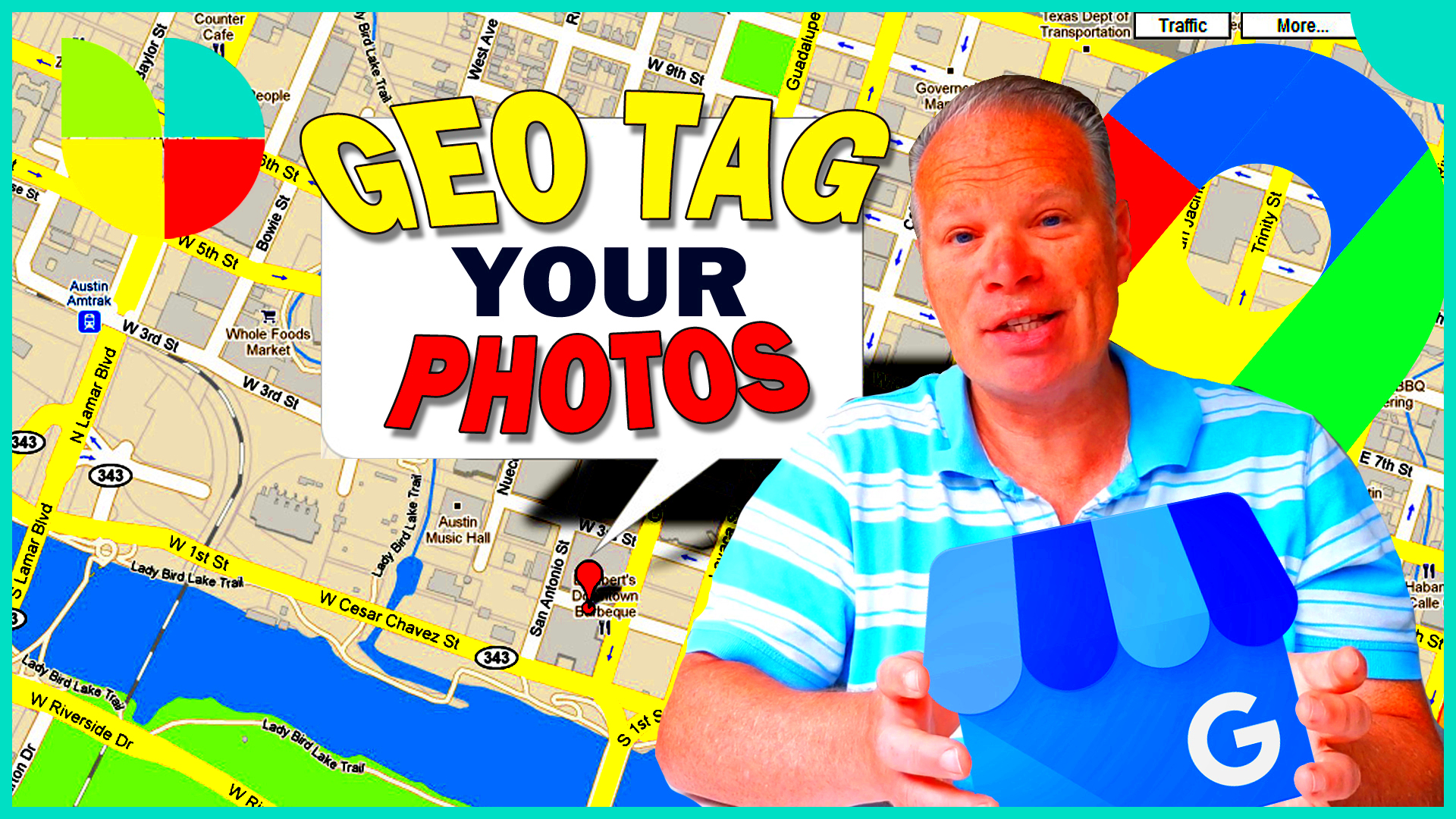
Step-by-Step Guide to Adding Geotags to Your Photos
Adding geotags into your pictures can be uncomplicated activity. This is how one can mark his/her photos: a step by step guide that will enable you do the same as well.
- Use a GPS-Enabled Device: If your camera or smartphone has GPS capabilities, ensure that it's enabled before taking photos. This way, the device will automatically record the location data.
- Transfer Images: After capturing your photos, transfer them to your computer or preferred photo management software.
- Open Your Geotagging Tool: Launch the software or app you’ve chosen for geotagging. If using online services, visit the website.
- Add GPS Data: For software without automatic geotagging, you can enter the GPS coordinates manually. Alternatively, if your device recorded this data, import the images to the tool.
- Save Your Changes: After adding the geotags, ensure to save your changes. This step updates the image metadata with the new location information.
By taking these measures, you can easily geotag your images and make them more organized.
Also Read This: How to Create an Outline for an Image in Canva
Organizing and Managing Geotagged Photos Efficiently
Post geotagging your pictures; it’s time for you to effectively arrange and handle them. In order to assist you have an orderly collection of geotagged pictures here are some realistic strategies:
- Create Folders by Location: Organize your images into folders based on geographical areas. For example, you could have separate folders for cities, countries, or specific landmarks.
- Use Tagging Systems: Implement a tagging system that includes location names, events, or themes. This practice makes it easier to search for specific images later.
- Utilize Photo Management Software: Consider using software like Adobe Lightroom or Google Photos. These platforms allow you to sort and filter images based on geotags and other metadata.
- Regularly Back Up Your Photos: Always back up your geotagged images to avoid losing them. Use cloud storage solutions or external hard drives for secure backups.
- Review and Clean Up: Periodically review your image collection. Delete duplicates or images that no longer hold significance. Keeping your collection streamlined will help you manage it more efficiently.
In case you need some geotagged pictures at any time, these suggestions will help you make sure they are properly arranged and accessible.
Also Read This: Most Useful Free Shutterstock Images Downloader Tool
Common Mistakes to Avoid When Geotagging Images
Although geotagging can help you arrange your images better, there are ways it can be misused resulting in confusion or disorder. The following are some of the typical mistakes one should avoid:
- Not Checking GPS Settings: One of the biggest mistakes is failing to enable GPS settings on your device. Always ensure your GPS is active before capturing images to avoid missing location data.
- Incorrect Manual Input: If you’re manually adding geotags, double-check the coordinates. A small error in latitude or longitude can place your image miles away from the actual location.
- Overlooking Metadata: Some users forget that geotags are stored in the metadata. If you change or edit the image file without preserving the metadata, you’ll lose the geotag information.
- Ignoring Privacy Concerns: Be mindful of privacy when sharing geotagged images. Sharing location data can reveal personal information about your whereabouts. Consider removing geotags for images shared publicly.
- Failing to Organize Regularly: After geotagging, it’s easy to toss images into folders without further organization. Take the time to label and categorize your images immediately after geotagging.
By avoiding these common pitfalls, users can maximize their geo-tagging benefits while having organized photo collections.
Also Read This: How to Sell Photos on Getty Images and Make Money
FAQ About Geotagging Images
Geotagging is a complicated subject that can raise many questions, especially for those who are completely new to it. In this regard, the following are some of the most common inquiries so that you can comprehend the entire procedure and practice better:
- What is geotagging? Geotagging is the process of adding location information to images, allowing users to see where a photo was taken.
- How do I geotag my images? You can geotag images using GPS-enabled devices, photo editing software, or online geotagging tools.
- Is geotagging safe? While geotagging is generally safe, consider your privacy. Be cautious when sharing geotagged images publicly.
- Can I remove geotags from my images? Yes, you can remove geotags using photo editing software by editing the metadata of the image.
- Do all cameras have GPS? Not all cameras come with built-in GPS. Check your device specifications to know if it has this feature.
These common inquiries about geotagging deal with its fundamentals and can answer any doubts you have.
Conclusion: Improve Your Image Organization with Geotagging
Geotagging is a powerful tool that can greatly improve how you manage, arrange as well as narrate images. Doing so makes it easier for you to organize them by location, retrieve them quickly and even share them in the meaninful way possible. No matter if you are amateur or professional, using geotagging will help you with proper collection of these images.
An organized transference of data following a proper way of organization avoids usual errors, employs appropriate instruments, hence it will create a simplified picture collection which narrates a special account. Therefore, engage in geotagging and witness how it revolutionizes your photography management and enjoyment!
 admin
admin